Qhapaq Ñan: The Inca Road Network That Rivaled the Great Postal Routes of the Islamic World
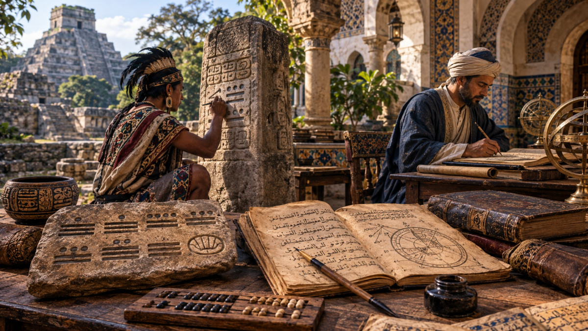
In the 8th century, a message sent from Damascus could reach the far corners of the Umayyad state with impressive speed, carried by riders who changed horses at relay stations along the way. This system, known as the barid, was one of the great achievements of early Islamic administration. Seven centuries later and half a world away, another civilization solved the same challenge of governing a vast land in a completely different way. The Incas of South America had no horses, no wheeled carts, and no alphabet. Yet they built one of the most impressive road networks in human history: the Qhapaq Ñan.
An Empire Built Along the Mountains
At its height in the early 16th century, the Inca Empire, known to its people as Tawantinsuyu, "the four parts together," stretched about 4,000 kilometers along the western side of South America. Its lands covered parts of today's Peru, Ecuador, Bolivia, Chile, Argentina, and Colombia. The capital, Cusco, sat high in the Andes of Peru, at more than 3,300 meters above sea level.
Governing such a long and mountainous territory was an enormous challenge. The empire included scorching coastal deserts, freezing high plateaus, deep river valleys, and the edges of the Amazon rainforest. The Inca answer was a unified road system that connected every region to Cusco.
Roads Across the Roof of the World
The Qhapaq Ñan, meaning "the great road" or "the royal road" in the Quechua language, is estimated to have covered around 30,000 kilometers, with some researchers giving even higher figures. It had two main routes, one running along the coast and one through the highlands, linked by many side roads.
The engineering was remarkable. Inca builders cut stairways into cliffs, paved roads with carefully fitted stones, built drainage channels to protect them from heavy rains, and raised walls to prevent landslides. Some sections climbed above 4,000 meters. In 2014, UNESCO recognized the Qhapaq Ñan as a World Heritage Site, shared by all six countries it crosses.
The Chasquis: Runners Who Carried an Empire
Along these roads worked the chasquis, young relay runners who carried messages and small goods across the empire. Stations called chaskiwasi were built at short intervals along the main routes. A runner would sprint to the next station, pass on his message, and the next runner would continue immediately.
Historical accounts suggest that the chasquis could move a message around 240 kilometers in a single day. Spanish chroniclers reported that fresh fish from the Pacific coast could reach the Inca ruler in Cusco within about two days, a journey that would take travelers on foot many times longer.
The similarity to the Islamic barid is striking. Under the Umayyads and Abbasids, the barid used relay stations where riders exchanged tired horses for fresh ones, and an official called sahib al-barid oversaw the network and reported on events in the provinces. Both systems had the same goal: to let a central government know what was happening in distant lands, quickly and reliably.
Knots Instead of Letters
How did the Incas send messages without writing? They used the quipu, a system of colored cords with knots tied at different positions. The type of knot, its position, and the color of the cord recorded numbers and information, such as population counts, stored goods, and tribute. Trained officials called quipucamayocs could create and read these records.
Arab readers may appreciate the irony. While scholars in Baghdad and Córdoba filled libraries with books, the Incas managed one of the largest states of their time using knotted strings. Researchers today are still trying to fully understand whether quipus also recorded language, not just numbers.
Inns, Storehouses, and Bridges of Grass
Along the Qhapaq Ñan stood tambos, roadside lodgings and storehouses where officials, soldiers, and travelers could rest and find food, water, and supplies. Their role closely resembles that of the khans and caravanserais that lined trade routes across the Arab and Islamic world, giving shelter to merchants, pilgrims, and caravans.
One of the most beautiful survivals of this system is the Q'eswachaka bridge in the Cusco region of Peru. Made entirely from woven grass, it is rebuilt every year by local Quechua communities using techniques passed down for centuries. In 2013, UNESCO listed the knowledge and rituals of its renewal as part of the Intangible Cultural Heritage of Humanity.
Walking in History's Footsteps
Today, travelers can still walk sections of the Qhapaq Ñan. The most famous is the Inca Trail to Machu Picchu, but many quieter routes in Peru, Bolivia, and Ecuador offer stunning views and a real sense of history.
For Arab travelers, exploring the Inca roads offers a fascinating mirror of our own heritage. The barid riders of the Umayyads and the chasqui runners of the Incas never knew of each other, yet both served the same human need to connect people across great distances. Standing on an ancient stone road high in the Andes, it is easy to imagine these two worlds side by side: one of desert caravans and relay horses, the other of mountain runners and knotted cords, both proof of what human ingenuity can achieve. If you plan a trip to Peru, consider adding a day on a restored section of the Qhapaq Ñan; it may be the most memorable walk of your journey.