Quebrada de las Conchas: Colour, Layers and Changing Landscapes in Argentina
Introduction
In the Argentine province of Salta, Quebrada de las Conchas turns a road journey into an encounter with the structure of the land. National Route 68 passes through the reserve near Cafayate, placing distinctive rock formations within a broader scenic route. [1] The attraction is immediate, but the landscape becomes more compelling when its colours and shapes are understood as evidence of different processes.
For readers in the Arab world, this is an inviting introduction to northwestern Argentina’s natural geography. There is no need to memorise a catalogue of rock names before appreciating it. Three questions provide a useful foundation: what material accumulated here, what later changed its position, and what is shaping its exposed surface today? Separating those questions prevents a complex landscape from being explained by a single word such as erosion.
Colour is a clue, not a complete answer
Visit Salta associates the widespread red coloration with ferric oxide. It also describes other colours linked to different mineral and sedimentary conditions. [2] These explanations give the visual appeal a scientific dimension, while leaving an important limit: colour alone cannot identify every rock or reconstruct its entire history.
A red slope and a neighbouring pale band can look like a deliberate design, yet the meaningful question is how their materials and histories differ. A photograph records the contrast; geological investigation explains it. This distinction allows a traveller to enjoy a striking view without converting an impression into a claim that every coloured stripe marks an equal period of time.
Layers preserve differences in deposition
A 2004 study of the La Yesera Formation distinguishes conglomerates associated with alluvial fans from finer sandstone and siltstone deposited in muddy plains. [3] These are findings about a particular geological unit, not a description to apply indiscriminately to every exposure along the road.
The basic vocabulary is accessible. Conglomerate contains recognisable larger fragments, while sandstone and siltstone refer to much finer sediment sizes. A deposit records material transported and accumulated under particular conditions. Asking about grain size therefore moves the discussion beyond colour and silhouette. It directs attention to what a rock is made of and to the environment represented by a specific, identified layer.
A further distinction matters: deposition and exposure are different events. The surface visible to a visitor today is not necessarily the surface that existed when the sediment accumulated. Keeping that sequence in mind makes room for the long intervening history, instead of imagining that the modern gorge appeared at the same moment as its rocks.
A landscape changed by movement
SEGEMAR’s geological account explains an initial phase of crustal extension, with deposition in fault-bounded depressions, followed by compression associated with Andean uplift. Earlier faults participated in the later deformation, a process described as tectonic inversion. [4] This introduces another part of the story beyond the removal of material at the surface.
The lesson is one of sequence. Sediment can accumulate, become part of a rock record, and later occupy a different structural position. A present-day slope therefore combines evidence from more than one stage. The age of a rock and the age of a landform are not interchangeable ideas. This simple distinction is more valuable to a first-time visitor than assigning a single impressive age to the whole view.
Water connects the scenery
The Universidad Nacional de Salta’s 2022 geological interpretation places the gorge in southern Salta and describes its mountainous setting, with the mountain ranges and drainage trending broadly north–south. [5] The river and its surrounding slopes should therefore be considered together, rather than treating each roadside formation as an isolated object.
Weathering and erosion also describe different aspects of change. Weathering alters or breaks material at a location; erosion involves its removal and transport. Water can participate in both. This general distinction helps explain why an exposed face, loose debris and a channel belong in the same discussion. They reveal different parts of a landscape system, even when a short visit captures only a quiet moment.
Names help recognition, not explanation
The scenic route includes named formations such as El Sapo, Las Ventanas and El Anfiteatro. [1] Such names help people recognise silhouettes and remember a stop. They need not be mistaken for an account of how a feature formed.
El Sapo, for example, invites a comparison with the shape of a toad. The comparison is an aid to recognition; a geological explanation must address the material and the processes involved. This separation between a memorable name and a physical explanation makes the journey especially suitable for a family audience. Imagination can begin the encounter, while evidence carries it further.
The same care applies to the idea of an unchanging landmark. A named formation is still part of a changing surface. A familiar outline in an old photograph should not become a reason to approach unstable ground in search of exactly the same viewpoint.
Plan a route around attention and access
Before travelling, check current road and weather information, permitted access and any local guidance affecting the stops you intend to make. Confirm whether an outing is primarily a drive with short walks or includes a longer route on foot. For visitors arriving from an Arab country, clarifying the language of the explanation and the walking conditions can make the excursion much easier to assess.
Choose stops that offer different perspectives: an overview of the valley, an identified sequence of layers and a distinctive exposed form. This is a suggested way to organise attention, not a fixed itinerary or a promise of access to particular paths. It allows a smaller number of well-understood places to provide a coherent account of the landscape.
Preserve the evidence being admired
Reserve rangers’ guidance published in 2024 calls for marked paths to be followed and prohibits damage to rocks, vegetation and wildlife, as well as fires and off-road activity. [6] The practical principle is straightforward: a geological visit should leave the objects and their surroundings available for the next observer.
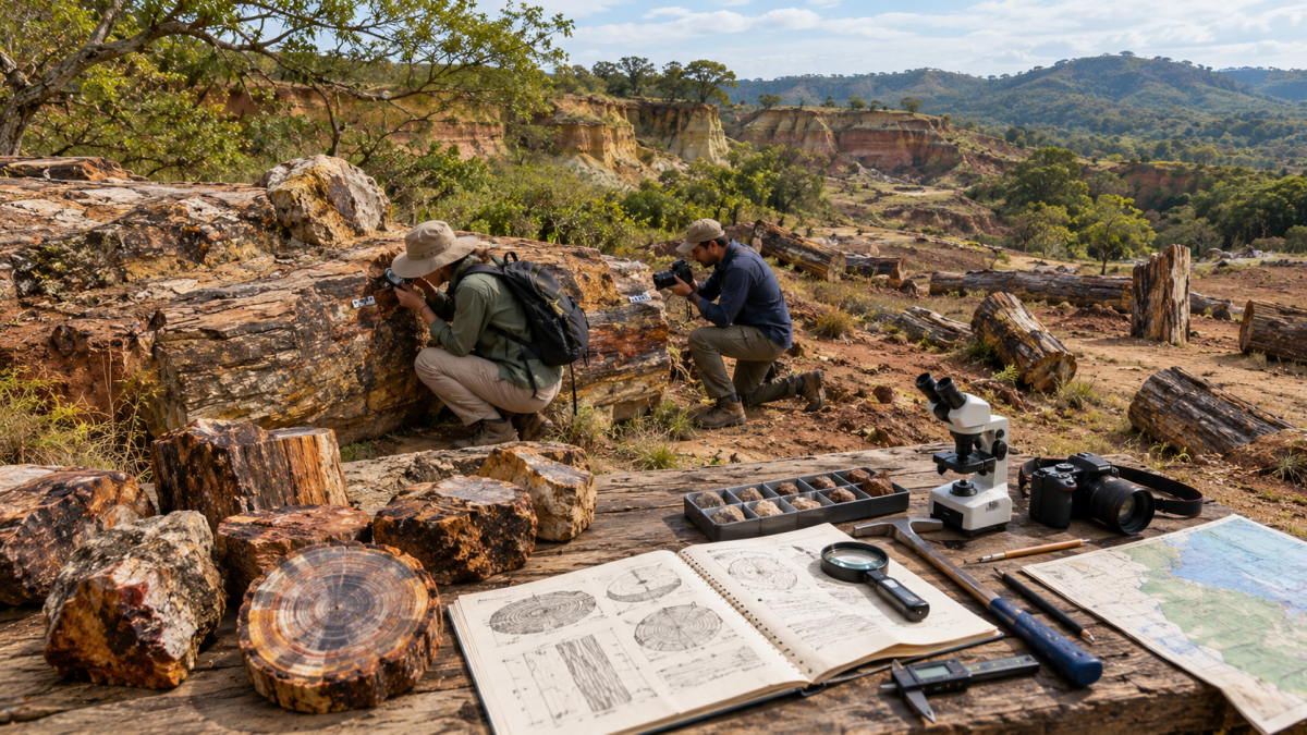
Photographs taken from permitted locations can retain both a wide view and a closer visual detail without moving fragments or marking a surface. A small sketch of the relationship between a layer and a slope can be equally useful. Neither requires collecting a souvenir from the ground. The enduring value lies in understanding the context, which an isolated piece cannot carry on its own.
Conclusion
Quebrada de las Conchas rewards a journey that connects scenery with sequence. Its colours, sedimentary records, structural history and present-day surface processes belong to related but distinct parts of the explanation. For an Arab audience exploring Argentina, the result is more than a series of dramatic stops. It is an accessible encounter with a landscape that teaches how to ask better questions about what the Earth preserves and what continues to change.