Colombia’s Chingaza Páramo: Frailejones, Glacial Lakes and Local Knowledge
Introduction
A plant can give a landscape its most memorable silhouette. In Colombia’s Chingaza, the frailejón offers just such a starting point: an invitation to look at leaves, growth forms and the space between plants before searching for a distant summit. A journey into this Andean setting can become a lesson in observation, with lakes, wildlife and local knowledge adding different layers to the view.
For readers across the Arab world, Chingaza also expands the image of Colombia beyond its familiar tropical associations. The national park lies in the Eastern Cordillera, northeast of Bogotá, and includes mountain forests as well as páramo ecosystems. [1] Páramo names a distinctive high-mountain environment, rather than a single attraction or a particular walking route. Knowing that difference helps make sense of the variety within one protected area.
Reading a plant without picking it
The Humboldt Institute explains that Colombian páramo plants have adaptations to cold conditions and strong solar radiation, including hairs that help retain warmth and limit moisture loss. It also describes waxes, scales, small rigid leaves and rosette forms among their strategies. [2] These details turn a plant’s appearance into a set of questions about how it lives.
An accessible way to begin is to compare shapes from an authorised path. Are leaves grouped around a centre? Does one plant hold them above the ground while another stays low? What differences can be seen without touching? A careful description is worthwhile even when the species remains unidentified. It is better to record what is visible than attach a confident name to an uncertain observation.
Frailejones within a larger community
Parques Nacionales identifies frailejones as characteristic of Chingaza and describes vegetation spanning high-Andean forest, subpáramo and páramo. [3] The iconic plant is therefore a useful doorway into the subject, rather than a complete description of everything growing there. Giving it attention should also make the neighbouring vegetation more interesting.
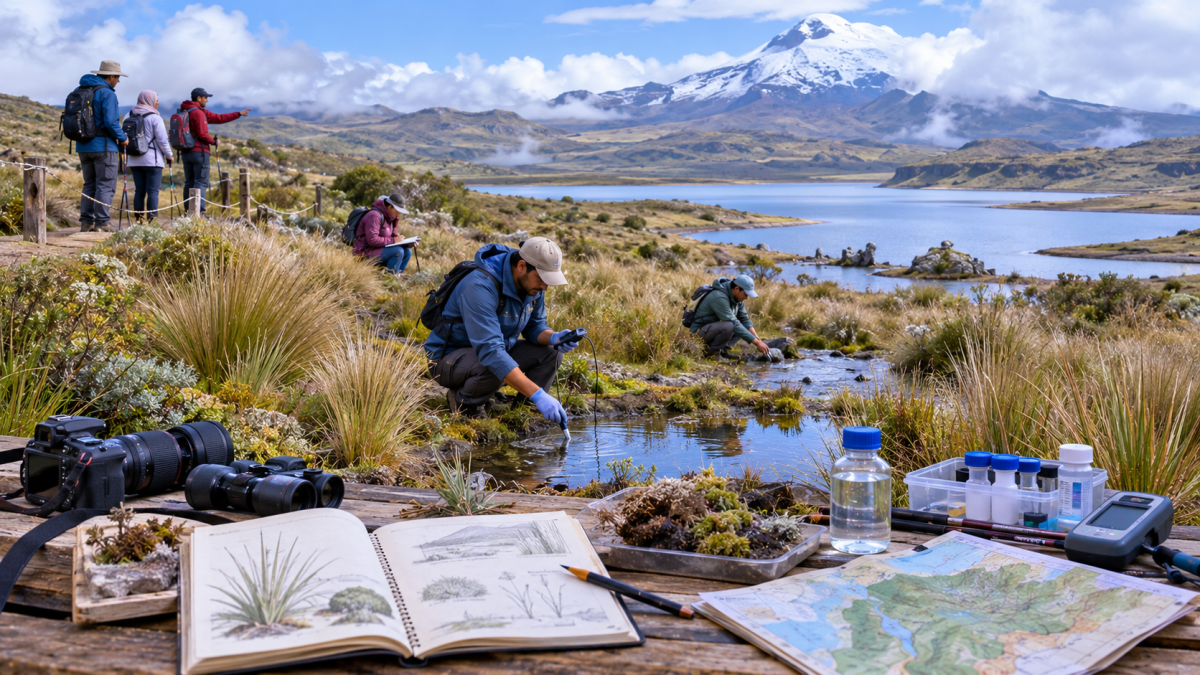
For a simple observation notebook, sketch one growth form and add two or three words about leaf shape or arrangement. Compare it later with a reliable visual guide. The point is to slow the process of looking. A page containing one well-described plant can be more informative than a long list of names copied without a clear link to what was actually seen.
Lakes that reveal an older landscape
The park authority describes Laguna Seca and Laguna Verde as glacial in origin and points to U-shaped valleys left by former glaciers. [3] This introduces a second timescale. Plants invite attention to living forms; a valley’s outline invites questions about processes that shaped the setting before the present visit.
Look at the basin and surrounding slopes as well as the water’s surface. If visibility allows, a wide view can help show the relation between them. The landscape does not need to be treated as a geological diagram with every feature identified on the spot. Recognising that a lake belongs within a larger landform is already a useful step beyond photographing an isolated patch of blue.
What the Ramsar name refers to
The Convention on Wetlands announced Colombia’s designation of the Sistema Lacustre de Chingaza in 2008. Its account identifies a 4,058-hectare wetland complex within the national park and notes its importance for migrating birds. [4] The designation concerns a defined wetland site; it should not be casually used as another name for the entire park.
For a reader planning a visit, the practical habit is to check what each name describes. A national park, a wetland complex, an individual lake and a trail can overlap without being identical. Keeping them distinct makes maps, captions and conversations clearer. It also avoids assuming that seeing one accessible lake amounts to visiting every part of the internationally recognised site.
Wildlife without a promised encounter
A March 2026 article by conservation specialists on IUCN’s website lists the Andean bear, condor and puma among Chingaza’s emblematic wildlife. It also discusses the work of rangers, restoration and biodiversity monitoring. [8] Such information explains the value of habitat; it is not a timetable for animals to appear.
A rewarding visit can include learning why an animal belongs in a landscape without seeing it. Ask the guide how observations are documented and which features can be discussed responsibly. Avoid turning a species list into a checklist that encourages pursuit. The possibility of an encounter should leave room for an equally worthwhile day spent understanding plants, landforms and the limits of one’s own observations.
A short connection with Bogotá’s water
Bogotá’s water utility identifies Chuza and San Rafael reservoirs and the Río Blanco subsystem as components of the Chingaza supply system, which includes the Francisco Wiesner treatment plant. [5] This gives the landscape a concrete connection with urban infrastructure without reducing its meaning to a single water-supply percentage.
A natural lake, a reservoir and a treatment plant belong to different categories, even when they enter the same conversation. Keeping those distinctions visible helps explain why protecting habitat and operating a water service are related activities with different tasks. Chingaza can be appreciated for its living diversity while also prompting questions about the systems that support a nearby city.
The knowledge behind a guided visit
In March 2024, Parques Nacionales reported an exchange in Chingaza involving community hosts and tourism professionals. The programme examined tourism management and the role of Corpochingaza as a community host. [6] This documented example shows that the visit experience includes learned skills and local organisation alongside the scenery.
When choosing an authorised provider, ask what the interpretation will cover, which route suits the group and what is included in the price. A useful guide helps connect a visible detail with a wider explanation. Allow time for that conversation instead of judging every pause as lost walking time. Supporting a locally informed service also makes the human contribution to the experience easier to recognise.
Plan one suitable route
The park’s visitor information calls for advance arrangements and an authorised guide, with services such as transport and guiding contracted separately from admission. [1] Confirm current availability, the appropriate entrance, insurance requirements and the route’s demands before paying. Discuss the group’s needs directly rather than choosing an outing only because its photographs are attractive.
Access conditions can change. A January 2025 notice documented a temporary trail closure after a fire and reiterated the need to stay on established paths, avoid fires and remove rubbish. [7] It is evidence of how management responds to an event, not a current list of open trails. Use the park’s latest instructions for the actual travel date.
Conclusion
Chingaza rewards a visit organised around attention: a plant’s form, a valley’s outline, the meaning of a wetland designation and an explanation from a local guide. Together, these details introduce a Colombian mountain landscape with its own character. For Arab audiences discovering Latin America, its appeal lies in that combination of distinctive living forms and approachable questions about how to observe, understand and care for a place.